DocuDrone Aerial Imagery LLC
About
FAA part 107 licensed and insured
DocuDrone Aerial Imagery LLC makes it our mission to provide you with the highest quality service in a safe and timely manner. We can work within your budget and time constraints to find a solution for your needs.
Years of experience:
Piloting drones
Professional photography & videography
3D modeling & mapping
Data capture & processing
Service
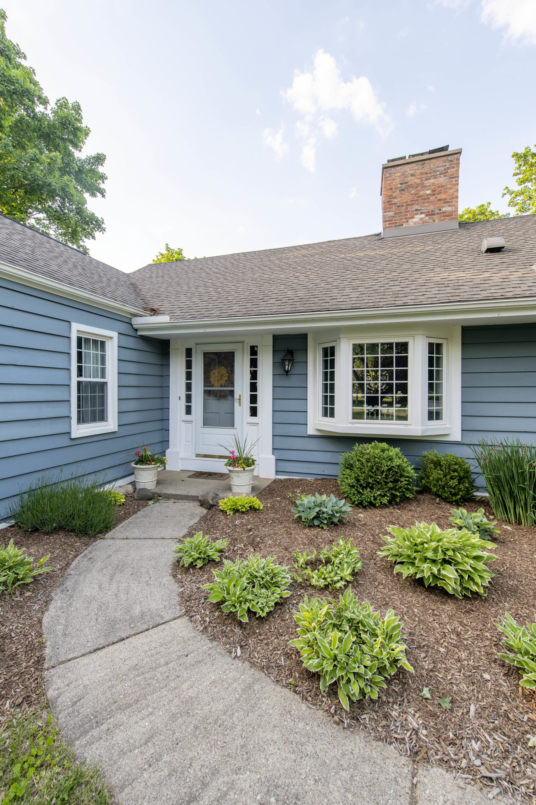
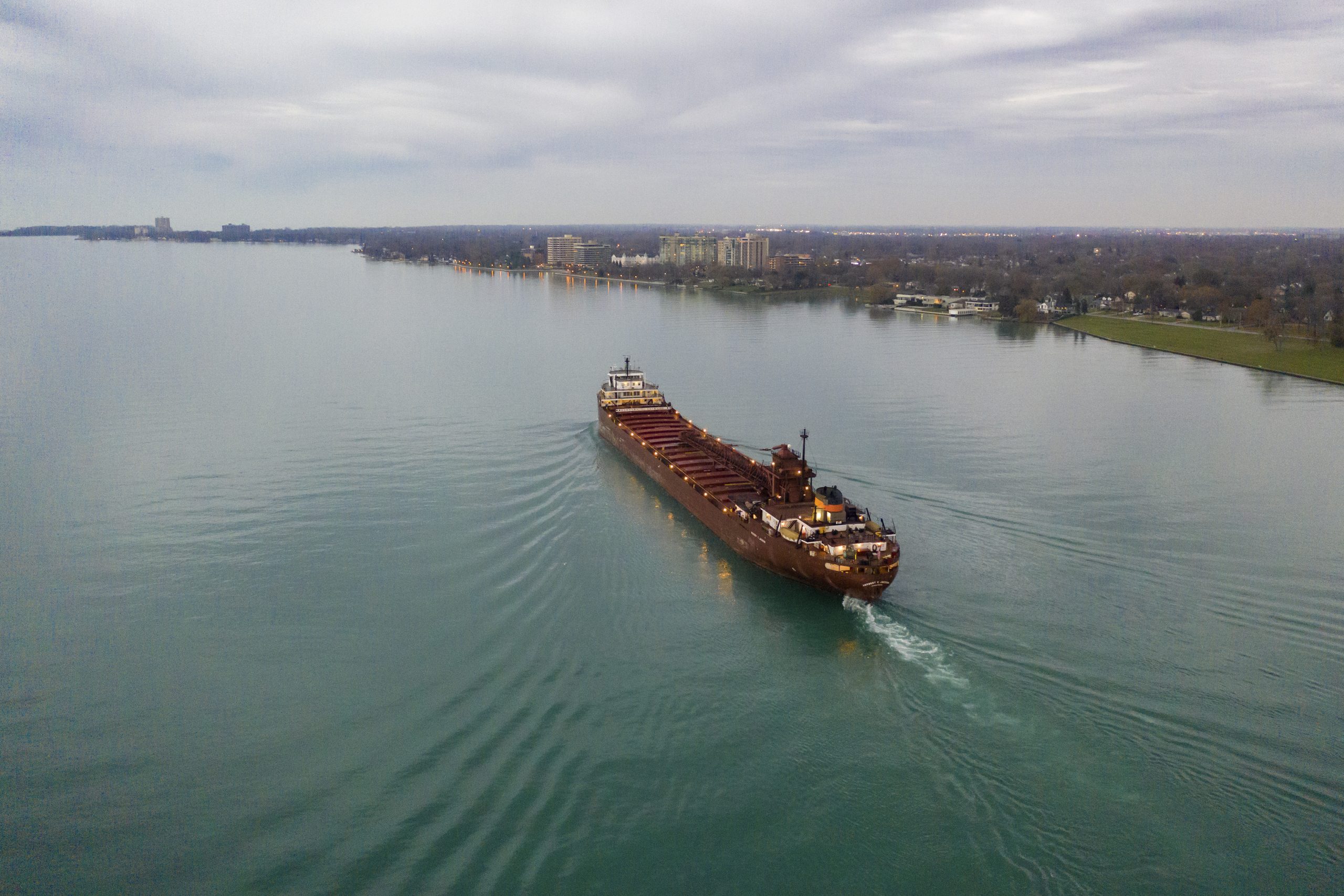
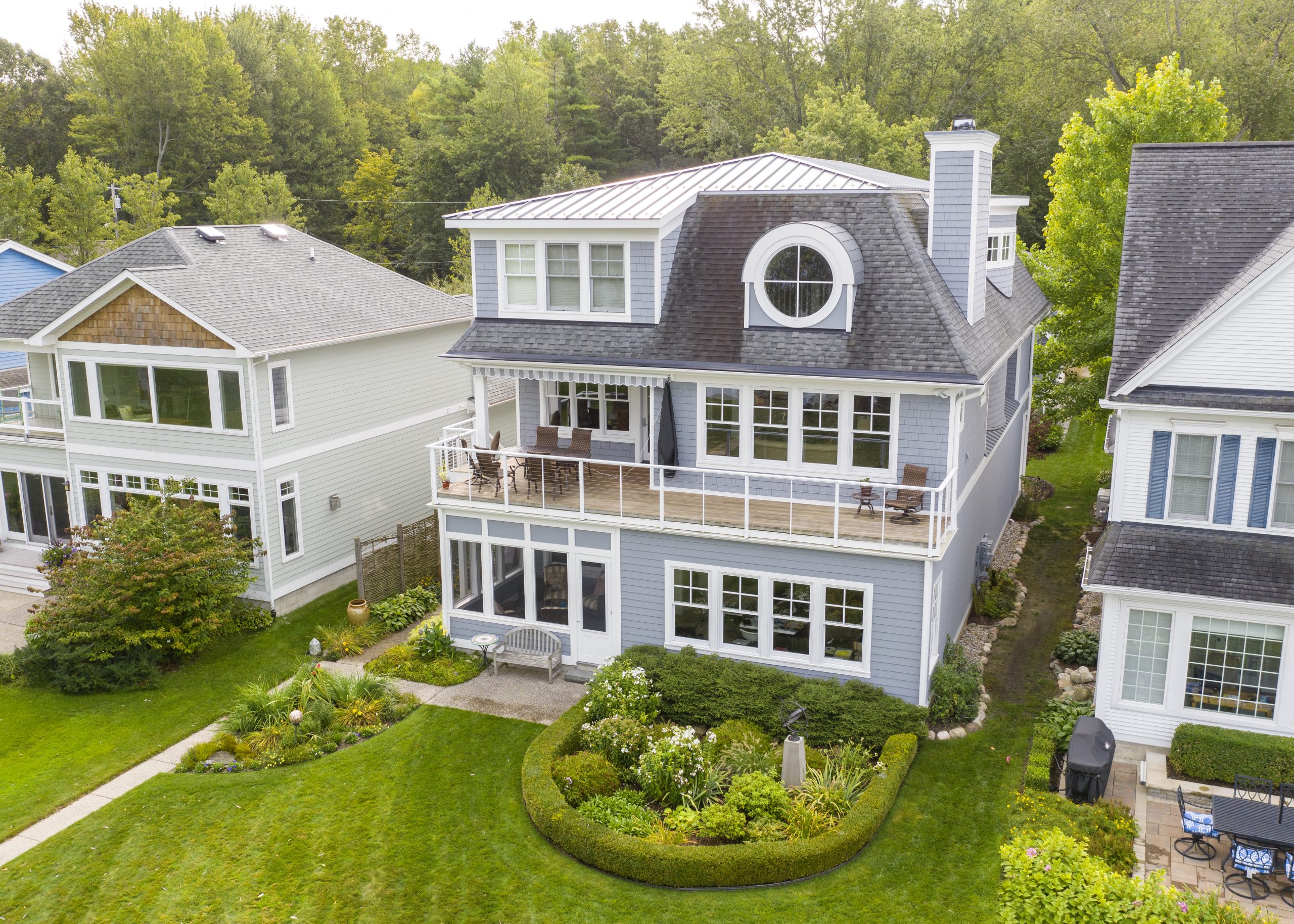
Photo & Video
It is our goal at DocuDrone Aerial Imagery to make your property or subject look as valuable and pleasing as possible. Our photos and video can help you sell, promote or share nearly anything that you need documented. We tailor our services to meet just about any request that you may have by offering an assortment of photo and video packages.
Real Estate ServicesAerial Photo
A collection of high resolution images that will help to reveal the value and beauty of your property or subject.
Aerial Video
You have the option of individual video clips, a fully edited video or both. We offer both 1080p and 4k resolution.
Exterior
On top of aerial imagery, we speicalize in architectural ground photography or videography to show your property from all perspectives.
Interior
We can provide you with the entire package by including the option of professional interior photos or video.
Service
3D Modeling & Mapping
With the combination of our drone and photogrammetry software we will obtain accurate results with a 1-3 pixel ground sampling distance. This software allows both you and I to accurately measure surface area, distance, volume and elevation with the 3D model that is created. You will also be able to inspect and annotate the project which allows for easy collaboration and sharing through the cloud. The available outputs use industry standard file types that are compatible with many 3rd party software options.
Outputs
Full-color Point Cloud
Files types: .las .laz .ply .xyz
Digital Surface Model
Files types: GeoTiff (.tif) .xyz .las .laz
Classified Point Cloud
Files types: .las .laz
Contour Lines
Files types: .shp .dxf .pdf
Orthomosaic
Files types: GeoTiff (.tif) .kml
3D Textured Mesh
Files types: .ply .fbx .dxf .obj .pdf
DTM & DEM
Files types: GeoTiff (.tif)
Facade DSM & Orthomosaic
Files types: GeoTiff (.tif)
Service
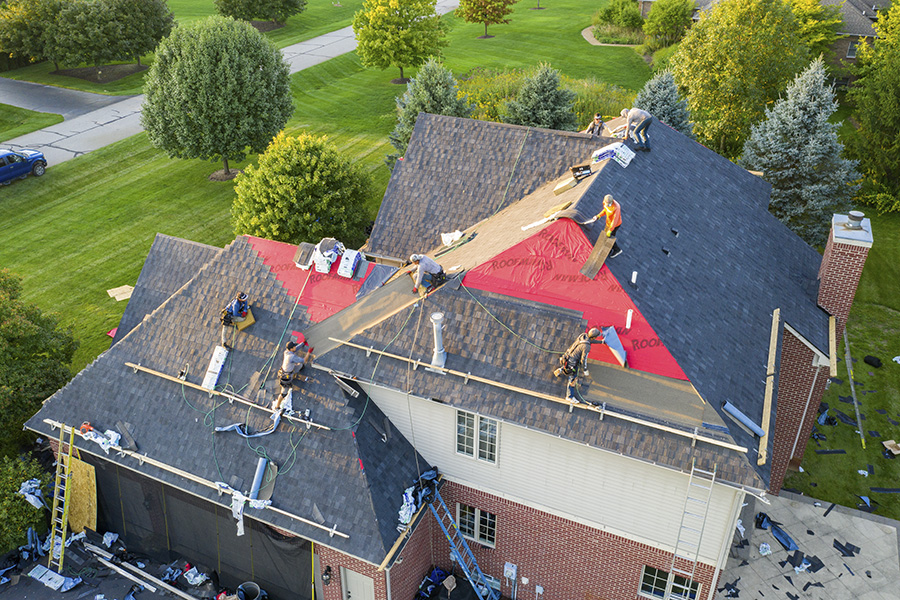
Construction Progress
We understand that your time is valuable so we would like to
help by providing you with photos, videos or models that will display the
progress of your site. This is one of the most effective methods for construction management, record keeping, sharing and marketing.
Recurrent (monthly)
To get the most out of your project progression we offer a recuurent service which will collect, display and archive your work. We can provide you with photos, videos, or 3D modeling and mapping. A monthly plan is suggested but we can provide you with service as frequently as you would like.
Single
We offer the same services in a one time package if that will suit your needs.
Service
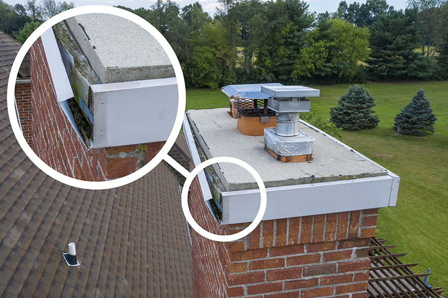
Inspection
Drones offer a unique and cost effect solution for inspection
of your area of interest. There are various projects and indsutries that can benefit from the use of drones for inspection needs. Let us reach the difficult to access or potentially dangerous areas of your site.
Application Examples
– Roof
– Building
– Equipment
– Solar Parks
– Industrial Parks
– Wind Farms
– Power Lines
– Parking Lot
– and More
Consider our 3D modeling and mapping service which could povide you with a new and improved method of inspection.
Contact
Send us an email and we will get back to you as soon as possible
or
Call us at (734) 476 9012